Stop guessing the age class. Read each stand's growth against its own record.

Plantation Monitor turns an annual satellite pass into a growth trajectory for every compartment on the estate. You see which stands are ahead of schedule and ready to thin, and which need another season, before anyone drives out.

Compartment
 
Planting year
 
Last measured
 
Schematic: a stand's index rising year on year, crossing a threshold line ahead of the curve its planting year would suggest thinning thresholdthis standplanting year saysearlier yearsthis passindex
Schematic. Not data from a real stand.
GSD
Wide / 10–30 m
Cadence
Annual
Platform
Wide-swath satellite
Spectral
Multispectral

The job today

The round before the planning meeting

Before the harvest plan is set, somebody has to decide which compartments to go and look at. A crew cannot plot every stand every year, so some get measured, some get a drive along the ride with a look up at the canopy, and some are taken as read because the planting year says what they should be. Thinning and clearfell slots then get booked against that.

A stand that grew slower than its age class suggests gets thinned early, or a fast one waits a season it did not need to. You find out when the contractor is on site.
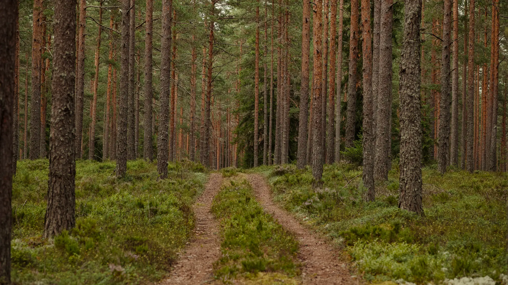
A grassy forestry ride running between rows of tall pine

Comparison

The same rotation plan, worked two ways

  1. 01Choosing which compartments to look at

    Drive the block

    You go by the last measurement date, the planting year and what the forester remembers about the road frontage.

    With Plantation Monitor

    Every compartment has a growth trajectory. The ones that have moved off their own earlier pattern come to the top of the list.

  2. 02Reading how far along a stand is

    Drive the block

    A look at the canopy from the road, or a plot crew walking a transect to judge crown closure.

    With Plantation Monitor

    An index for each stand, every year, plotted against that same stand's earlier years, so ahead and behind show on one chart.

    Still yours

    Plots where you need stocking and basal area. The index is a trend, not a tree count.

  3. 03Calling the thinning window

    Drive the block

    The stand record gives an age class, and the forester adds a judgement from the last visit.

    With Plantation Monitor

    A flag when a stand crosses its threshold on the trajectory, so a compartment that is ready early does not wait for the next walk.

    Still yours

    The decision to thin, and the prescription.

  4. 04Pencilling in the clearfell year

    Drive the block

    Rotation age from the plan, adjusted by feel for stands that look slow or quick.

    With Plantation Monitor

    An estimated merchantability year for each stand, worked from its trajectory and given as an estimate, for the rotation plan to be checked against.

  5. 05Keeping the stand record

    Drive the block

    Annual notes typed up after the inventory walk, compartment by compartment.

    With Plantation Monitor

    A CSV keyed by compartment ID, loaded into the stand record you already keep. It adds a column to your record and leaves the rest alone.

  6. 06Before the fellers go in

    Drive the block

    A pre-harvest cruise on the stands you intend to fell.

    With Plantation Monitor

    The same cruise. The trajectory tells you which stands to cruise first and when.

    Still yours

    The cruise, and every volume figure that comes out of it.

What you get

What you open after each annual pass

Everything is keyed by your own compartment IDs, so it drops into the record you already keep.

  • Map layerLedger row 02

    Per-stand trajectory

    Each compartment's index, year on year, as a layer for your GIS. Open it next to the compartment layer you already hold. This serves the "reading how far along a stand is" row.

  • Layer attributeLedger row 03

    Thinning-window flag

    A flag on any stand that has crossed its own threshold on the trajectory, so you can pull those compartments into the next harvest plan. This serves the "calling the thinning window" row.

  • CSV columnLedger row 04

    Estimated merchantability year

    One estimate per stand, worked from the trajectory. It is an estimate for the rotation plan to be read against, not a committed date.

  • Stand-record export

    By compartment ID, for the spreadsheet or database that holds your stand records. One row per compartment, one column per year.

How it works

Through the planning year

You send the estate once. A new pass is added each year.

  1. Before the first pass

    Send the estate

    A compartment boundary file with your compartment IDs, and the planting year for each if you hold it.

  2. Once a year

    Annual pass

    Wide-swath multispectral imagery covers every stand. Where cloud hides part of the estate, that part waits for the next usable pass.

  3. After the pass

    Trajectories computed

    Each stand's index is set against its own earlier years. Thresholds and flags are worked out from that history.

  4. Ahead of the planning meeting

    Hand-over

    The map layer and the CSV, in time for the harvest schedule to be written against them.

Limits

Read these before you set next season's schedule by the trajectory.

What the drive and the plot crew still do better

  1. Stand level, not tree level

    At 10–30 m a pixel is at least ten metres across. The index reads a stand. It will not see single trees, defects, species or a small pocket of dead timber inside a stand. Very small compartments are only a handful of pixels and read poorly.

  2. Annual is the cadence

    You get one reading a year. A storm, a fire or an insect outbreak part-way through the year will not show until the next pass unless somebody reports it. Your own eyes on the ground cover the gap.

  3. Cloud can push a pass back

    The imagery is optical. In a persistently cloudy region a pass can slip to a later window, and a stand under cloud keeps its last reading until then.

  4. Even-aged blocks read best

    Uniform stands of one species and one planting year give a clean trajectory. Mixed or uneven-aged blocks read noisier, and the trajectory should be treated with more caution.

  5. A flag is a window, not a verdict

    The thinning flag and the merchantability year come from a trajectory. They tell you where to look and when. They do not replace a pre-harvest cruise or a prescription from your forester.

Who it's for

Who it's for

Switch if

  • You run an even-aged softwood or eucalypt estate and schedule thinning and clearfell against a rotation plan.
  • The estate is too big to plot every compartment every year, and too variable to run one blanket rotation age.
  • You keep a stand record and want a growth trend for each compartment to sit beside it.

Stick with the drive and the plot crew if

  • You need stocking, basal area or volume figures for a stand. Those come from plots and a cruise.
  • Your stands are uneven-aged or mixed and you need a clean read on each one.
  • You need to know about storm or fire damage as it happens.

FAQ

Before you switch

Does this replace our inventory walk?

No. It tells you where to spend the walk. You still plot the stands where you need stocking and basal area.

How do we check it against our own stands?

Hold the trajectory beside the stand record for compartments you know well, and beside what the last plot crew measured. If a stand looks wrong, send it back and we will go through the imagery with you.

Can it see damage or tree defects?

No. At 10–30 m it reads the stand as a whole. Individual trees, defects and species are below what it can resolve.

Does it replace a pre-harvest cruise?

No. The merchantability year is an estimate from a trajectory. The cruise still gives the volumes you sell on.

What about storm or fire damage mid-year?

The pass is annual, so damage inside the year does not show until the next one. Storm, fire and insect damage need your own eyes on the ground.

Will it work on our mixed or uneven-aged blocks?

It works best on even-aged stands of one species. Mixed or uneven-aged blocks read noisier, and we will tell you which compartments that applies to.

What if it is cloudy when the pass is due?

The pass can move to the next usable window, and a stand under cloud keeps its last reading. The cadence is a target and weather can move it.

Does it plug into our stand records or GIS?

There is no direct integration. You get a map layer for a GIS and a CSV keyed by compartment ID that opens in a spreadsheet or loads into a database.

Who owns the data, and how is it priced?

Your boundaries and compartment IDs stay yours. Rights over the files and the imagery behind them are written into the agreement before the first pass. Ask us about terms. There is no price list on this page.

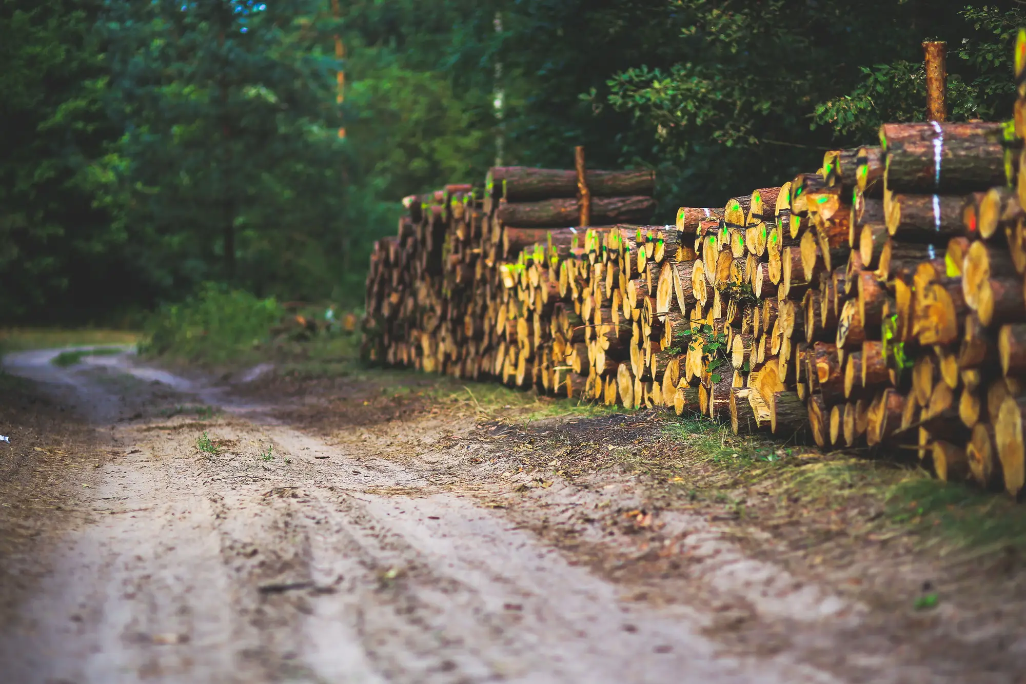
Felled pine logs stacked beside a sandy forest track

Put your estate on the monitor.

Send a boundary file with your compartment IDs. We will scope the first pass from there.

Get started